Showing posts with label climbing mountain. Show all posts

Friday, May 13, 2016

Hash :: Mount Andong > Magelang ~ Central Java ~ Indonesia (3)

This is the 3rd time I'm hiking at Mount Andong.

Today, I climb with my friends. We all 8 people. Today is my friend birthday, so she wants to celebrate it by hiking at Mount Andong.


From Magelang, go to Kopeng direction, before Ngablak market turn left.


Follow the road.

There will be a sign, that the place is Mount Andong basecamp. So you don't have to worry. The entrance ticket : IDR 5.000/pax and IDR 5.000/car.


There's 2 rest area while climbing. After passed 2nd rest area, you will see this beautiful scenery.


Then after almost 1 hour and 40 minutes climbing, I arrive at the peak. This time, I walk really slow because I accompany one of my friend. Usually, it only took 1 hour and 15 minutes.

When you see this scene, then you have arrived at the peak

Mount Andont's Peak, 1726 MASL

The weather is nice, but the wind blew so strong. We didn't accross the devil's bridge / cow's back shape bridge because of the wind.

We celebrate my friend's birthday, by take picture. She brought the birthday banner.


At the Andong's Peak, you can see 5 and more mountain: Mount Merbabu, Mount Merapi, Mount Sumbing, Mount Sindoro, Mount Lawu, Mount Telomoyo, and Mount Ungaran.


Then we rest while eating noodle in one of the stan on Andong's Peak.
After a while, we go back down which not too easy because it's slipery. It took 1 hour and 18 minutes to go down.


Part 1 | Part 2


Wednesday, April 20, 2016

Hash :: Mount Andong > Magelang ~ Central Java ~ Indonesia (2)

Today, out site is hiking mount Andong again. This time, a lot of hasher wants to try to climb until the peak. As for me, I want to cross the devil's bridge because last time I didn't cross the bridge.. :D

We arrive at the basecamp, and start to hike
We start to hike, and go to the 1st stop. This is the trail, if you never jogging / hiking, then you have to climb slowly, don't too rush.


There's 2 rest post in here. Use it well, but I thought that you can't stop too long, or your muscle will stiff.


After the 2nd post, the path is started to more extreme.


But we can start to see the beautiful scenery.


And it started to feel hot because of the sun.


If you see this mountain, then you will arrive at the peak soon.


Finally, after about 45 minutes, we arrive at the peak.


This is the Devil's Bridge / you can see it as the back of a cow.


Becarefull while crossing the bridge, because the width is only about 30cm.


Both side is cliff, don't see the downside too often, or you will be dizzy.


Finally, I'm on the other side of the peak. It's beautiful. We can see almost 7 mountain in here. We take picture so many.


Telomoyo Mountain


Merapi and Merbabu Mountain


Then we go back down. It's more steep when we go down, so you have to be more careful.

Part 1

Wednesday, September 2, 2015

Hash :: Mount Andong (1) > Magelang ~ Central Java ~ Indonesia

Today's hash route is at Mangli Village, Ngablak-Grabak. And for the long route is hiking Mount Andong. Andong Peak is at 1726 MDPL.

Nowadays, so many people come to hike the mountain. And the villagers, made it become tourists spot.


Where's Mount Andong?
If you come from Magelang, then you go to Kopeng directions. After passed Pakis Village, there's a village name Ngablak. When you arrive at it's market, there's a big gate on the left, then turn left and enter the big gate.

From then, just follow the road until you face T-junction, turn left again. Then, there's another T-junction which looks like "Y", follow the right path. Until you entering a village residence, in the T-junction turn left then you will arrive in the basecamp. The basecampe located at Sawit village, Girirejo. We have to pay the regristation if we want to climb the mountain for IDR 3.000/pax. (based story of http://ngadem.com/wisata-ke-gunung-andong-magelang-hiking-asik-tanpa-bikin-pening/)

Because I went there with group, so I didn't know how much the regristation cost.

The way to the peak start from this basecamp. At first, the path is easy, until you found this sign.


Then walk about 10m and you started to climb. The path is mostly stairs from stone and full of sand. and it's so high (for me).


It's tiring to climb up. But the view is amazing.


This is still in the middle. Still there's about 15 minutes to arrive to the peak. But after struggling, finally I arrives at the peak.

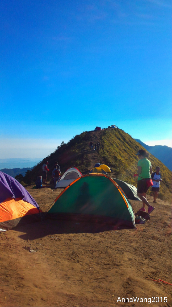
It's another basecamp, and there's so many tent in there. A lot of people stay for the night, to enjoy sunset and sunrise.


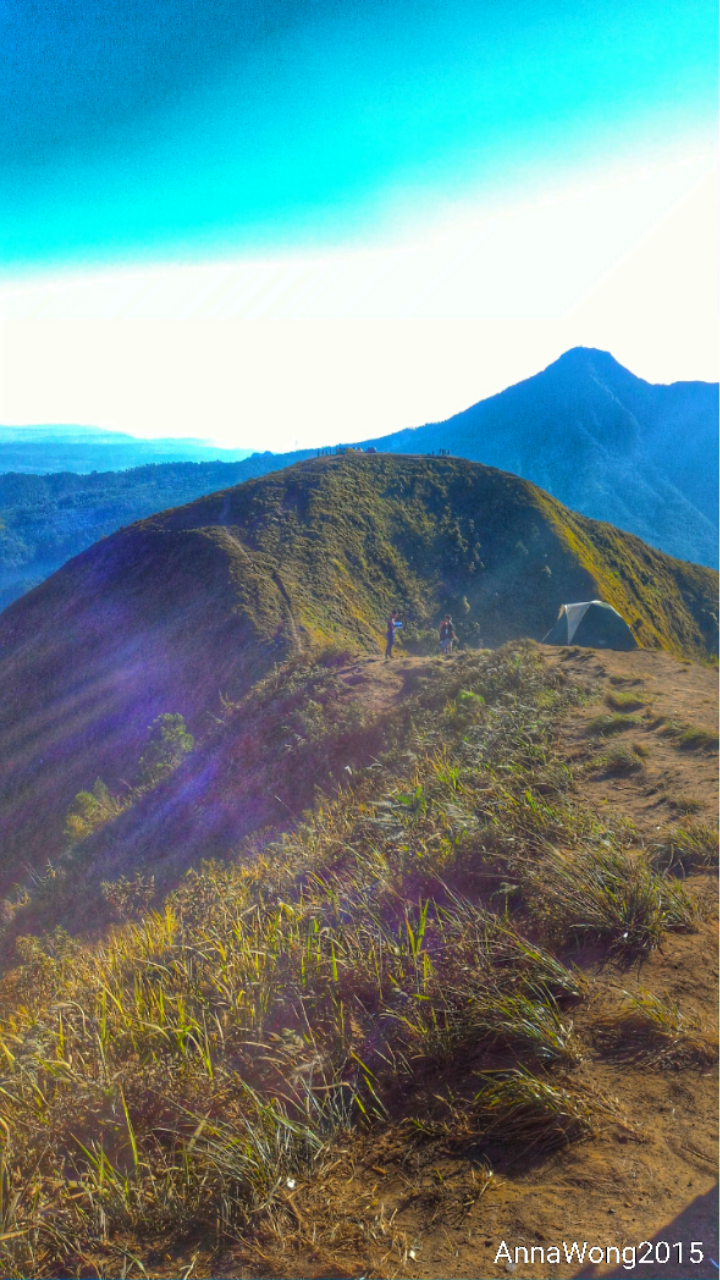
Then go further, there's what people call "Geger Sapi / Jembatan Setan". "Geger Sapi" means the top blade of cow. So the mountain just like top blade of cow. There's a curve in the middle of the peak and the path is so narrow. For those who afraid of height, maybe they won't dare to accross it. That's why it's also called "Jembatan Setan" or Devil Bridge.

Geger Sapi / Jembatan Setan

Mt Andong Peak 1726 MDPL

The tomb of  Kyai Jaka Pekik and the view surround it from Mt Andong Peak
It's so beautiful. We can see Mt Sumbing and Sindoro, and also Mt Merapi, Mt Merbabu. And we are above the sea cloud. The weather is nice, makes the nature more beautiful.

It's worth to climb for almost 2 hours. It's windy, so if you want to climb here, prepare mask to keep you from dust. And also eyeglasses.

On the way down, it's easier than climb. But we have to extra careful, because it's slippery especially with a lot of dry sand. But it's faster than climb.

It took 2 hours and 20 minutes with 4,03km.